
Why Boundary Disputes Are Rising in Peri-Urban Kigali - and What GIS Can Do
Eric Mugisha · May 2026 · 4 min read
 Add Comment
Kigali's rapid outward growth has put pressure on land records that were never designed for this pace of change. Informal boundary markers - a row of trees, an old fence line - are increasingly at odds with what's recorded on paper.
GIS doesn't resolve disputes on its own, but it gives all parties a shared, verifiable reference. A properly surveyed boundary, tied to a geodetic control network, removes the ambiguity that informal markers carry.
GIS doesn't resolve disputes on its own, but it gives all parties a shared, verifiable reference.
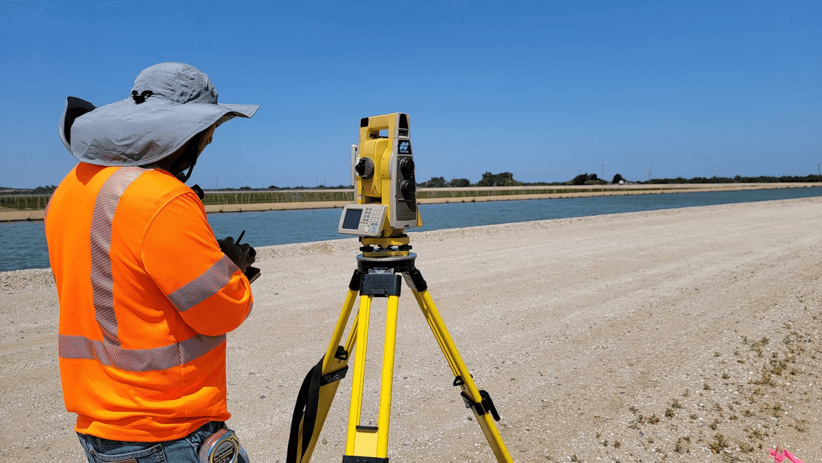
We've seen this play out directly in our own survey engagements: disputes that stall for months in negotiation are often resolved within days once a certified boundary plan is on the table.
- Land Surveying
- Cartography






Comment18
Aline Uwase
alineuwase@gmail.com
This is a great reminder of why accurate surveying is essential. As Kigali expands, GIS will play a critical role in reducing land disputes and supporting sustainable urban development.
Aline Uwase
alineuwase@gmail.com
This is a great reminder of why accurate surveying is essential. As Kigali expands, GIS will play a critical role in reducing land disputes and supporting sustainable urban development.
Aline Uwase
alineuwase@gmail.com
This is a great reminder of why accurate surveying is essential. As Kigali expands, GIS will play a critical role in reducing land disputes and supporting sustainable urban development.