Our Services
Corporate services and operational capability, aligned exactly with our official registration.

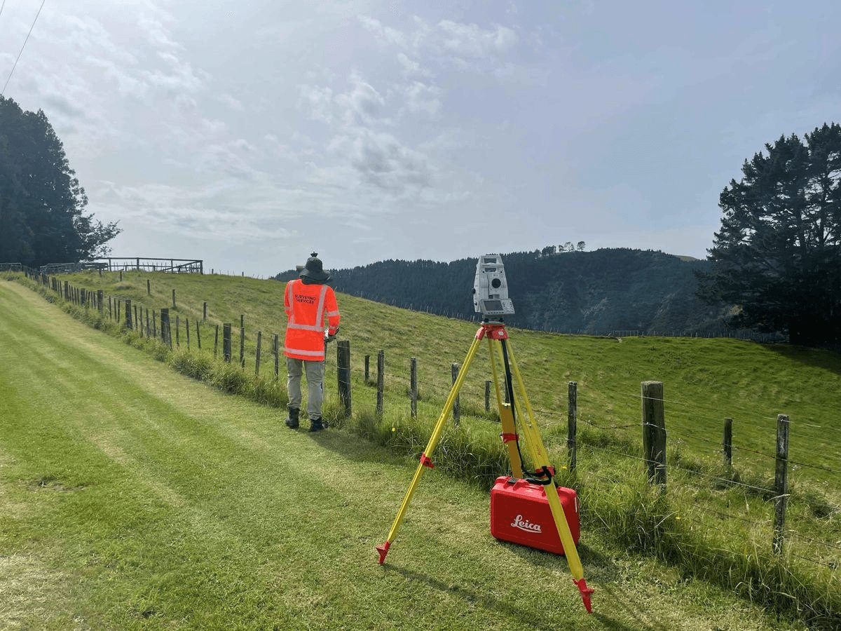
Sanokip's surveying division combines classical fieldcraft with modern GNSS and GIS tooling to deliver spatial data that stands up to legal, engineering, and environmental scrutiny. We work directly with landowners, developers, and government agencies across Rwanda.

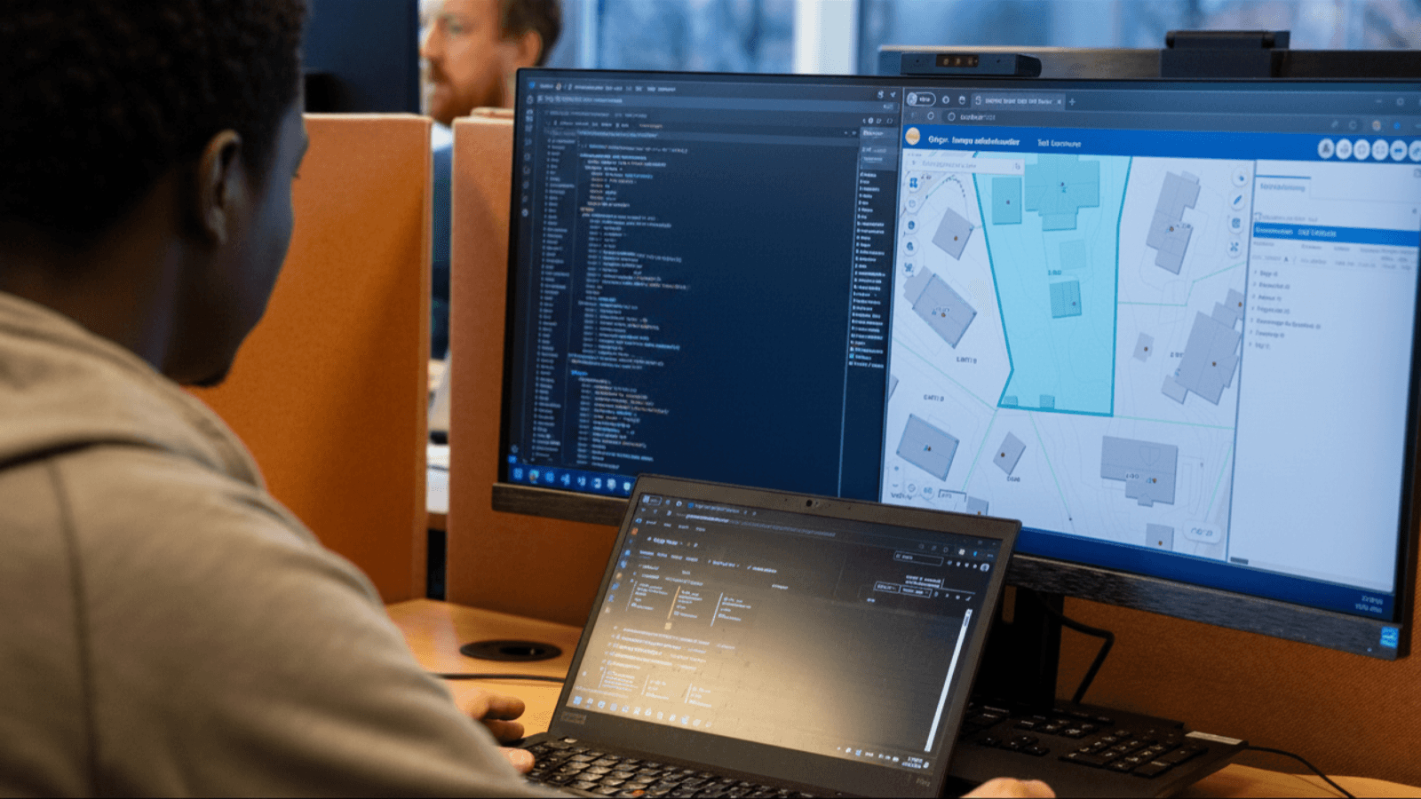
We design and build the software layer that geospatial organizations actually run on - from internal tools to public-facing map platforms. Our engineers work alongside our surveying and data teams, so the systems we build are shaped by real field workflows, not guesswork.

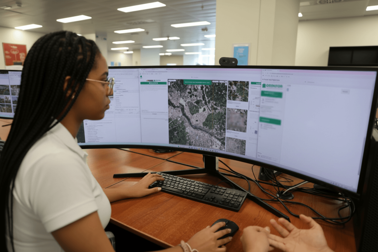
Every dataset that leaves Sanokip has been verified against source and formatted for the medium it will actually be used in - digital, print, or system-integrated. We publish everything from single thematic maps to full institutional atlases.

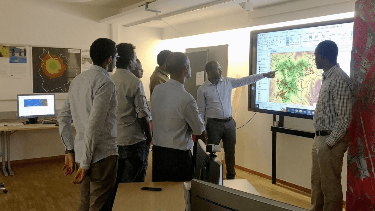
We help organizations build lasting internal GIS capability rather than permanent dependence on outside consultants. Engagements range from short workflow audits to multi-month training programs.

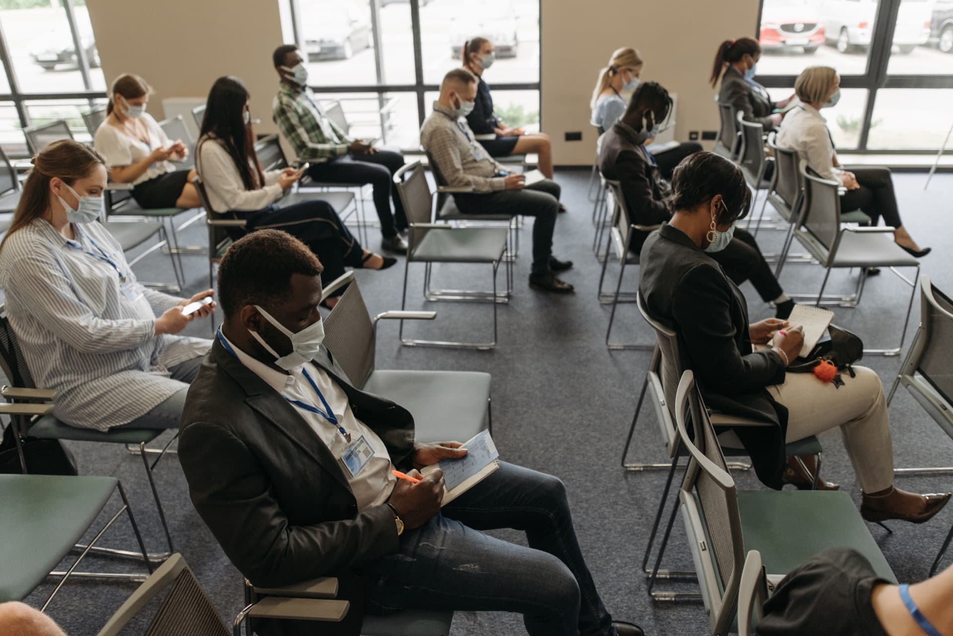
From technical workshops to business forums, we plan and run the infrastructure events that bring Rwanda's technology community together - including our own flagship event, Map'n Kawa.